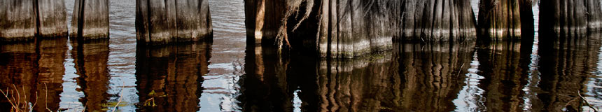
Left was right
During a return trip from a commercial shoot in Hot Springs AR, I decided to veer off the beaten track, U. S. Hwy. 270, east of Malvern AR, and explore Hot Spring County Road 61. It looked promising on the map. After I did the right thing and went left at the first fork, new image opportunites fell my way in domino sequence. See the stories that go with these pictures at Corndancer dot-com and Weekly Grist for the Eyes and Mind.
Move
 |
-
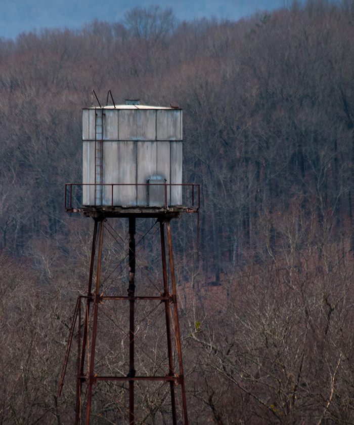
The water tower behind the "shoe factory" on Hwy. 270, east of Hot Springs AR. Shot from the hill across the highway.
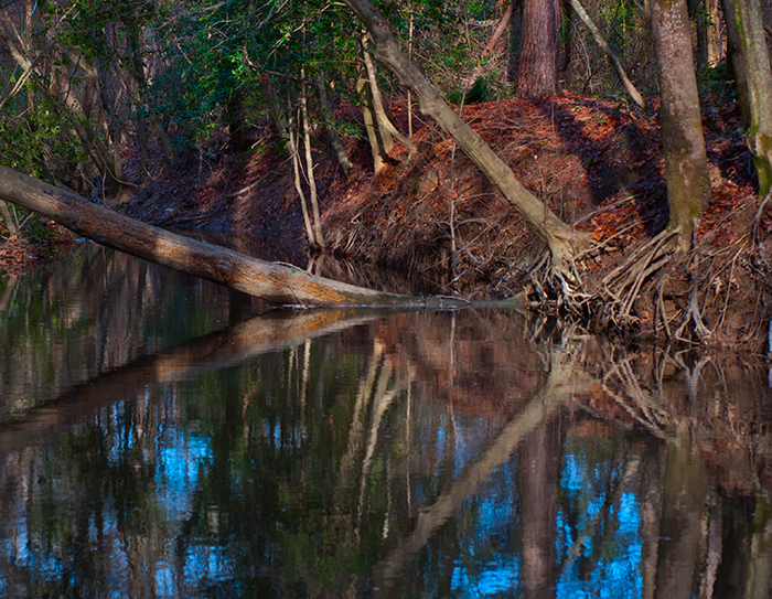
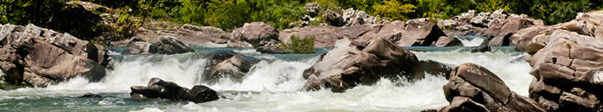
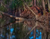 I believe this is Huskey Creek, if I can believe the map. Shot at creek level below the bridge on County Road 61.
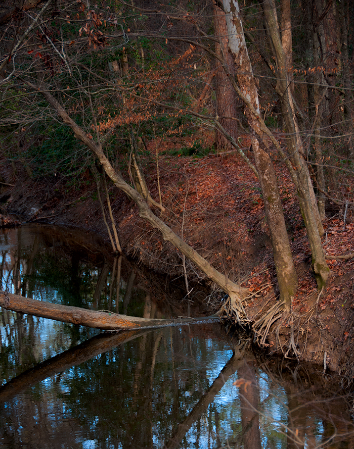
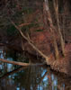 Shot from the bridge abutment.
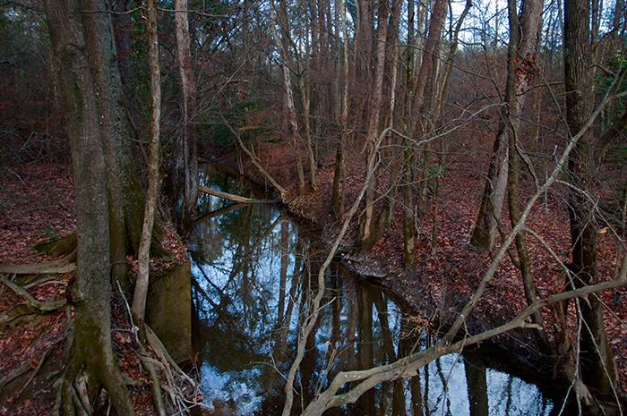
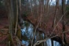 Shot from the bridge. You can see an old bridge abutment on the left side of the picture.
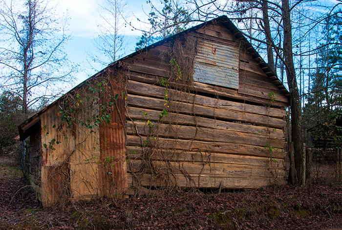
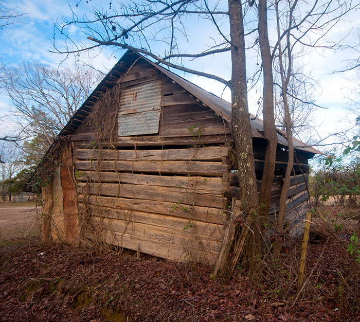
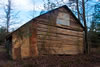 Further down on County Road 61. No one was at the nearby residence, so no info. You can see tool marks on the logs left from the hand hewing process.
 Same building, the other side.
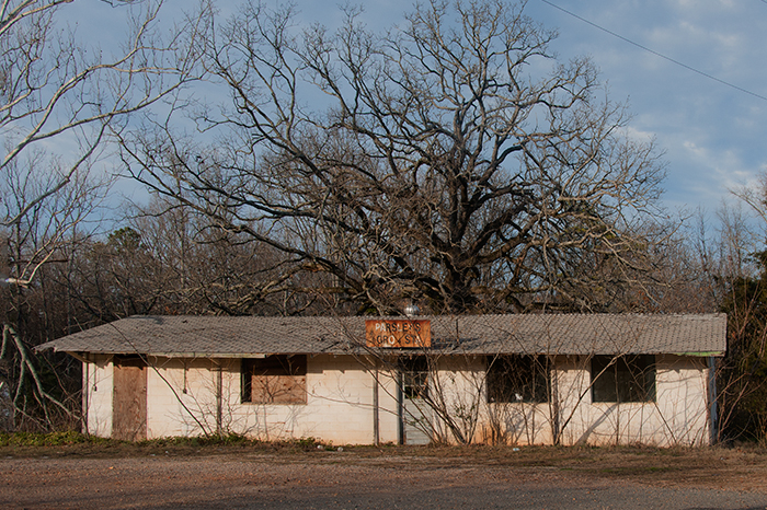
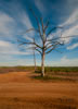 The sign on the far tree says "Locust Hill." The scene looks as if it should be in the American southwest.
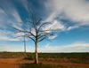 Locust Hill from a different angle.
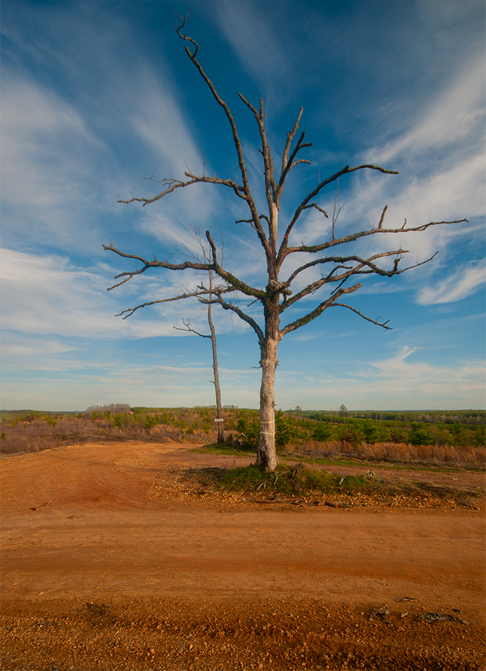
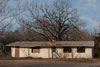 Another one that bit the dust.

 |
additional